Tracking Israel’s war in Lebanon, in maps
The latest data on Israel’s invasion, including on casualties, strikes and displaced people
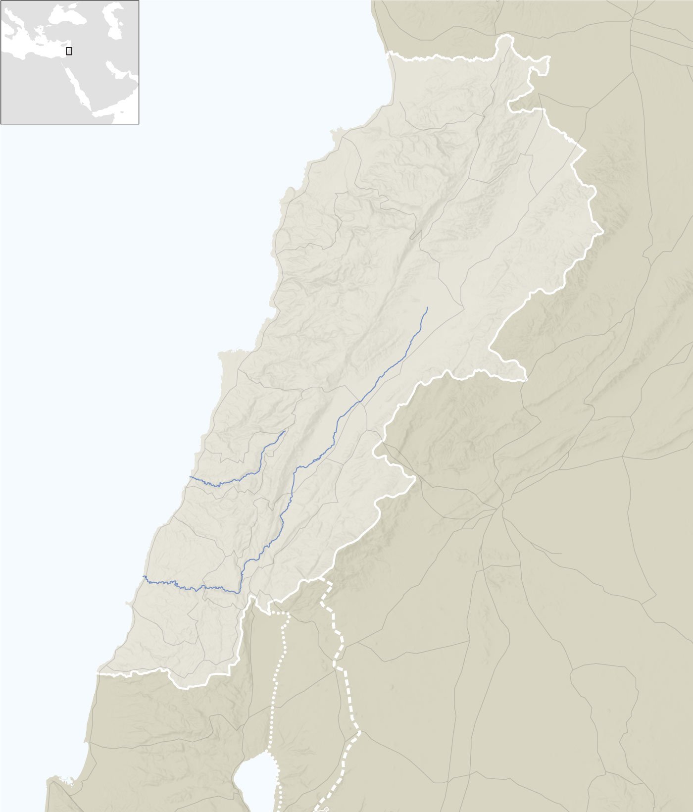
LEBANON
Mediterranean Sea
Litani
Awali
SYRIA
Golan
Heights
Reported attacks, Oct 15th 2024
ISRAEL
Since Sep 21st
By Israel
By Hizbullah
Towns ordered to evacuate by Israel
Sources: Institute for the Study of War; OpenStreetMap
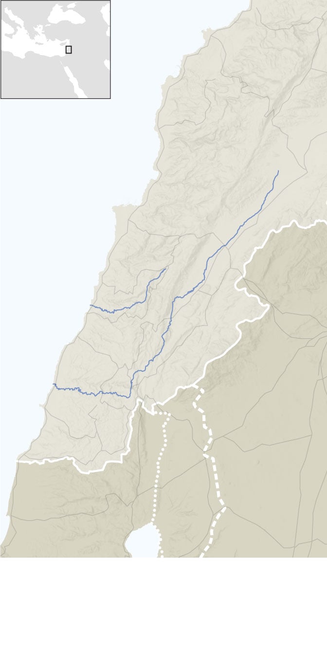
LEBANON
Mediterranean
Sea
Awali
Litani
SYRIA
Golan
Heights
ISRAEL
Reported attacks, Oct 15th 2024
Since Sep 21st
By Israel
By Hizbullah
Towns ordered to evacuate by Israel
Sources: Institute for the Study of War; OpenStreetMap
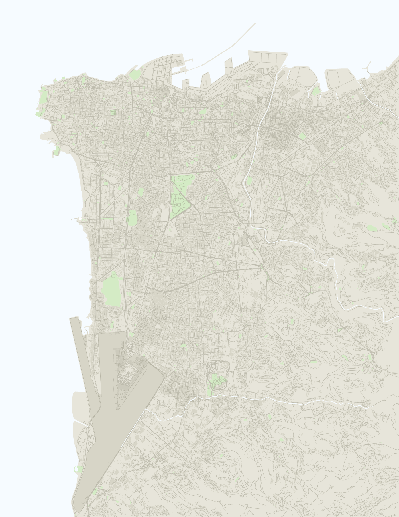
Mediterranean Sea
BEIRUT
Airport
Reported attacks by Israel
On Oct 15th
Since Sep 21st
Sources: Institute for the Study
of War; OpenStreetMap
1 km
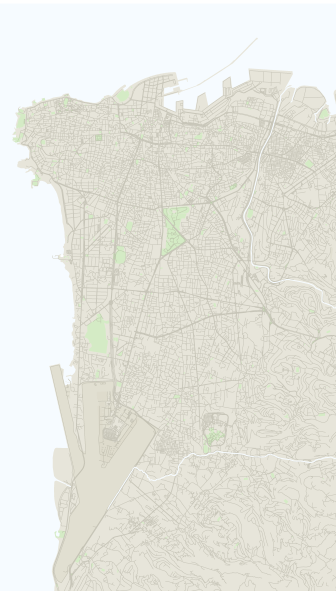
Mediterranean Sea
BEIRUT
Airport
Reported attacks by Israel
On Oct 15th
Since Sep 21st
Sources: Institute for the Study
of War; OpenStreetMap
1 km
Read more coverage of Israel, Hizbullah and Lebanon:
Attacks
Daily reported attacks
To NaNth
-
By Hizbullah
-
By Israel
Casualties and displacement
Internally displaced people
To NaNth 2024, Lebanon
Cumulative deaths reported
To NaNth 2024, Lebanon
Iran’s involvement
